
Project Overview
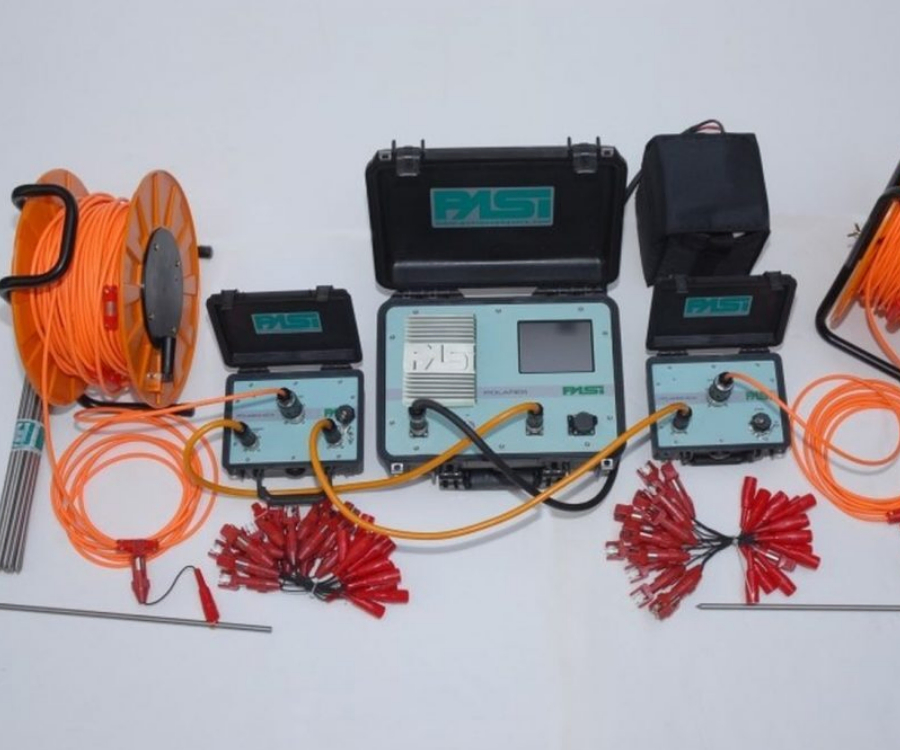
Geophysical and geotechnical surveys are critical methods used to investigate and analyze subsurface conditions for various projects, including construction, mining, and environmental assessments. While both types of surveys are used to understand subsurface conditions, they focus on different aspects and use different techniques.### Geophysical Surveys**Purpose**: Geophysical surveys aim to investigate subsurface properties and structures by measuring physical properties that vary with depth and location. These surveys are primarily used to map geological features, detect anomalies, and assess conditions without direct excavation.**Key Techniques**:1. **Seismic Survey**: Uses seismic waves generated by small explosions or mechanical sources. The reflection and refraction of these waves help determine the subsurface structure and identify layers of different materials.- **Reflection Seismology**: Measures the time it takes for seismic waves to return to the surface after bouncing off different layers.- **Refraction Seismology**: Measures the bending of seismic waves as they pass through different materials.2. **Electrical Resistivity Survey**: Measures the resistance of the ground to electrical currents. Different materials (e.g., rocks, soil, water) have different resistivities, which helps in mapping subsurface structures and identifying contaminants.3. **Magnetic Survey**: Measures variations in the Earth's magnetic field caused by subsurface magnetic materials. Useful for identifying mineral deposits, buried structures, and geological formations.4. **Ground-Penetrating Radar (GPR)**: Uses radar pulses to image the subsurface. It is effective for detecting and mapping buried objects, voids, and changes in material properties.5. **Gravimetric Survey**: Measures variations in the Earth's gravitational field caused by differences in subsurface density. It helps in identifying density anomalies and structures like cavities or ore bodies.**Applications**:- **Mineral Exploration**: Identifying mineral deposits and assessing their extent.- **Environmental Studies**: Locating contaminants and assessing groundwater conditions.- **Construction**: Evaluating subsurface conditions before construction to avoid surprises and plan appropriately.### Geotechnical Surveys**Purpose**: Geotechnical surveys focus on analyzing soil and rock properties to evaluate their suitability for supporting structures. These surveys provide detailed information on soil mechanics, strength, and stability, which is crucial for safe and effective construction.**Key Techniques**:1. **Soil Sampling**: Collecting soil samples from various depths to analyze their composition, strength, and moisture content. Techniques include:- **Boring**: Drilling holes into the ground to collect samples from different layers.- **Test Pits**: Excavating trenches to examine soil layers and collect samples.2. **Laboratory Testing**: Analyzing soil and rock samples in a lab to determine their physical and mechanical properties, such as:- **Shear Strength**: Measures how the soil will resist sliding or shearing forces.- **Compaction**: Determines the optimal moisture content and density for soil compaction.- **Permeability**: Measures the rate at which water flows through soil.3. **In-Situ Testing**: Conducting tests directly on-site to assess soil properties and behavior under real conditions, such as:- **Standard Penetration Test (SPT)**: Measures soil resistance to penetration.- **Cone Penetration Test (CPT)**: Measures resistance as a cone is pushed into the soil.**Applications**:- **Foundation Design**: Ensuring that the soil or rock can support the loads imposed by structures.- **Slope Stability**: Assessing the stability of natural and engineered slopes to prevent landslides.- **Earthworks**: Planning and executing excavation, embankment, and other earth-moving activities.### Summary- **Geophysical Surveys**: Focus on mapping and analyzing subsurface conditions based on physical properties without direct sampling. Useful for locating structures, assessing geological features, and environmental monitoring.- **Geotechnical Surveys**: Focus on analyzing soil and rock properties through sampling and testing to assess their suitability for construction and engineering purposes.