
08Jul
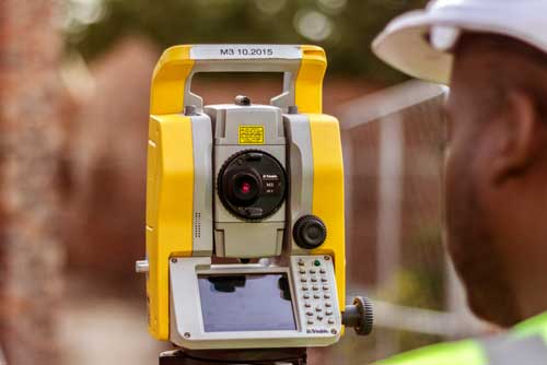


Planning, cadastral surveying
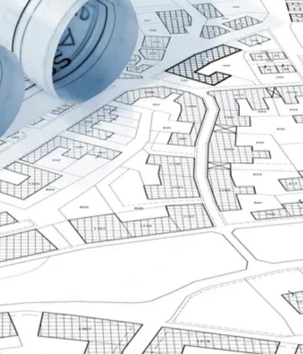
Topographic Mapping
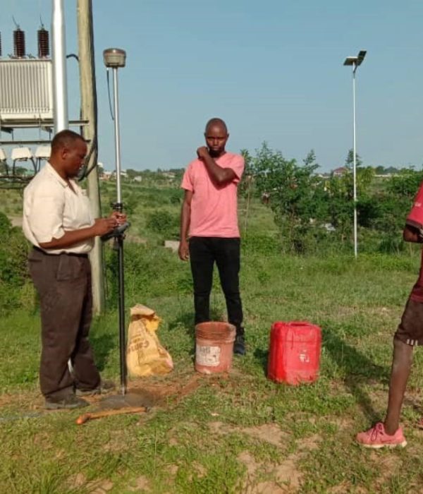
Conducting Cadastral Survey
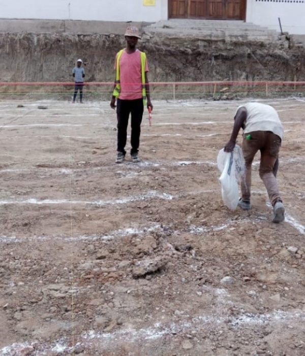
Setting-out of Building and Profile
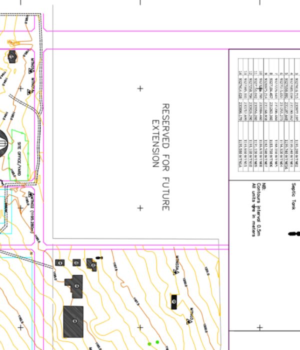
Topographical mapping
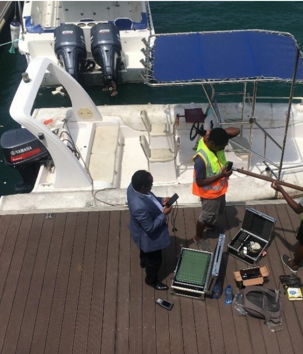
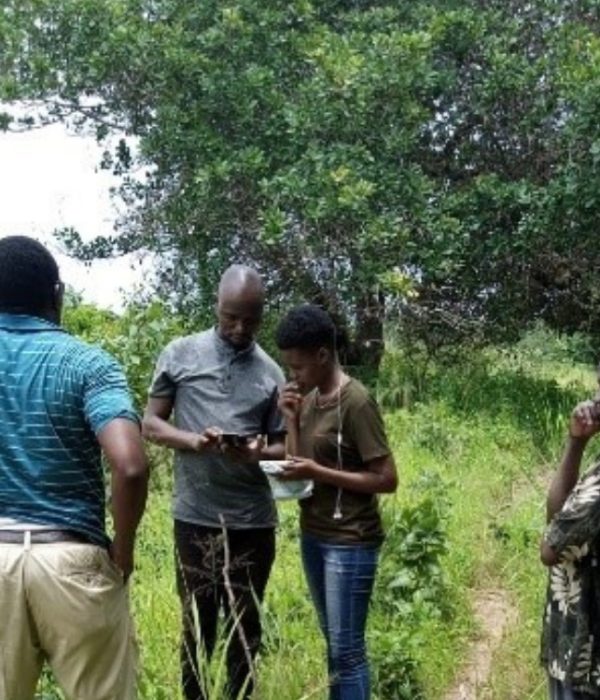
Hydrographic/Bathymetry survey
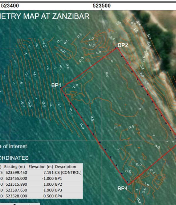
Hydrographic/Bathymetry survey

I like more and more each day because it makes my life a lots of easier. They are the best and expertly trained team members who take the extra step and go the expert dynamic solutions to our customers fit changing global environment.
Eng. Devotha
- kyber - engineer
I like more and more each day because it makes my life a lots of easier. They are the best and expertly trained team members who take the extra step and go the expert dynamic solutions to our customers fit changing global environment.
Mamlaka ya Maji
- kyber - Manager
I like more and more each day because it makes my life a lots of easier. They are the best and expertly trained team members who take the extra step and go the expert dynamic solutions to our customers fit changing global environment.
Kuhani Musa
- kyber - CEO