Archives: Services

Project Overview

We are highly experienced in drone, lidar & topographical mapping for property valuation, mining, road network planning and implementation, as-built surveys, geological, geophysical & geotechnical surveys, coastal management etc.

Project Planning

Dedicated Team & Plan With a long and given to environment slightly design planning.

Satisfied Service

Dedicated Team & Plan With a long and given to environment slightly design planning.

Dedicated Team

Dedicated Team & Plan With a long and given to environment slightly design planning.

Project Overview

Our company is experienced in estimating earthworks of stockpiles, open and underground mining pits and other related works. We can also supervise engineering construction site works on contract basis. We have high experience in setting-out runways at airports, buildings during construction, drainage systems, water supply systems, sewage systems, irrigations schemes, construction DAMs etc. We also deal with deformation measurements of engineering structures including dams, bridges, buildings, railways using highly modern technologies. We have enough experience in monitoring sediments accumulations in DAMs, Harbors, lakes, and basins using well equipped technologies.  Other services include highway and road construction and upgrade surveying, tunneling roadway infrastructure surveys, Residential, commercial and industrial Construction surveying, High rise construction set out and monitoring, Subdivision engineering and construction surveys, Bulk earthworks projects, Infrastructure network surveying, Large and small-scale feature, detail and as-constructed surveys.

Project Planning

Dedicated Team & Plan With a long and given to environment slightly design planning.

Satisfied Service

Dedicated Team & Plan With a long and given to environment slightly design planning.

Dedicated Team

Dedicated Team & Plan With a long and given to environment slightly design planning.

Project Overview

We deal with mapping lands for titling and registration, real estate surveys, identifying legality of land before buying and leasing, etc. The company also deals with land boundary recovery, surveying of large farms, village land surveys for provision of CRO, division of large farms into plots, surrendering of title deeds and survey plans, re-survey of registered large farms in urban and rural areas. We also do land regularization from site survey, town plan drawing preparation, and finally surveying and approving plots.

Project Planning

Dedicated Team & Plan With a long and given to environment slightly design planning.

Satisfied Service

Dedicated Team & Plan With a long and given to environment slightly design planning.

Dedicated Team

Dedicated Team & Plan With a long and given to environment slightly design planning.

Project Overview

A mining survey involves the collection and analysis of data related to mining operations. This data helps in planning, managing, and optimizing mining activities. There are several types of mining surveys, each serving different purposes:1. Geodetic Survey: Establishes precise locations and elevations of various points within a mining area. This survey is critical for ensuring that all aspects of the mining operation are accurately mapped.2. Geological Survey: Focuses on mapping and analyzing the distribution, structure, and properties of mineral deposits. It helps determine the quantity and quality of the resources available.3. Topographic Survey: Provides detailed information about the surface features of the mining area, including terrain, vegetation, and man-made structures. This is crucial for planning access routes and site layouts.4. Mine Design Survey: Involves mapping and analyzing underground workings or open-pit designs. This survey helps in designing efficient and safe mining operations.5. Environmental Survey: Assesses the potential environmental impacts of mining activities. This includes monitoring air and water quality, as well as evaluating the effects on local ecosystems and communities.6. Resource Estimation Survey: Involves measuring and estimating the quantity and grade of mineral resources. This data is essential for economic planning and feasibility studies.7. As-Built Survey: Documents the actual state of the mine's infrastructure and operations after construction or modification. It helps ensure that everything is built according to the design specifications.

Project Planning

Dedicated Team & Plan With a long and given to environment slightly design planning.

Satisfied Service

Dedicated Team & Plan With a long and given to environment slightly design planning.

Dedicated Team

Dedicated Team & Plan With a long and given to environment slightly design planning.

Project Overview

Our company is highly concerned with helping government and private sectors to enhance their productivity and efficiency through GIS and remote sensing mapping. The main customers include Ministry of Natural resources and tourism, Ministry of energy and minerals, Ministry of water, Ministry of agriculture, Ministry of works and Ministry of information, communication and information technology. Our task is to map all resources including land and property, and create database systems for easy management of information. We help in tourism, water resources, conservation and management of game reserves and national parks, agriculture planning and mapping, telecommunication mapping and planning services etc. Though GIS and remote sensing, we can integrate geophysical, geotechnical and geological data to help in understanding natural hazards occurrences, mineral discoveries, surface and subsurface mapping, designing and improving construction codes, areas prone to floods, areas prone to seismic hazards, areas prone to volcanoes and other natural processes. We are experts in identifying presence of Oil and gas and other minerals. Other services include preparation of land cover maps classified for various analysis and land use plans preparation for better resources management.

Project Planning

Dedicated Team & Plan With a long and given to environment slightly design planning.

Satisfied Service

Dedicated Team & Plan With a long and given to environment slightly design planning.

Dedicated Team

Dedicated Team & Plan With a long and given to environment slightly design planning.

Project Overview

Utilities and construction surveys are critical for the planning, design, and execution of construction projects and infrastructure development. They ensure that utilities (like water, electricity, and gas) and construction activities are accurately mapped, planned, and executed. Here’s a breakdown of each:### Utilities Survey**Purpose**: Utilities surveys are conducted to map out and document the existing utility infrastructure in a given area. This includes underground and above-ground utilities such as water lines, sewer systems, gas pipelines, electrical cables, telecommunications infrastructure, and other service lines.**Key Components**:- **Mapping Existing Utilities**: Identifying and recording the location, depth, and type of utilities.- **Coordination**: Ensuring that new construction or modifications do not interfere with existing utilities.- **Data Collection**: Using tools like ground-penetrating radar (GPR), electromagnetic locators, and GPS to accurately locate and map utilities.- **Updating Records**: Keeping utility maps and records up-to-date for future reference and planning.**Benefits**:- **Avoiding Conflicts**: Reduces the risk of damaging existing utilities during construction.- **Safety**: Enhances safety by providing information on potential hazards.- **Efficiency**: Streamlines construction planning and reduces delays.### Construction Survey**Purpose**: Construction surveys are conducted to ensure that construction projects are built according to design specifications and plans. They provide the necessary data for layout, alignment, and elevation of various construction elements.**Key Components**:- **Site Layout**: Marking out the boundaries and key features of the construction site according to the design plans.- **Control Points**: Establishing reference points to ensure that construction elements are positioned accurately.- **Elevation and Alignment**: Measuring and verifying elevations and alignments of structures, roads, and other elements.- **As-Built Surveys**: Documenting the completed construction as it was built, comparing it to the original plans.**Benefits**:- **Accuracy**: Ensures that construction is performed according to design specifications.- **Quality Control**: Helps identify and correct errors early in the construction process.- **Compliance**: Ensures compliance with regulations and design standards.### Techniques and ToolsBoth types of surveys use advanced tools and techniques to achieve accuracy and efficiency:- **GPS**: For precise location and alignment data.- **Total Stations**: For measuring angles and distances.- **Laser Scanning**: For detailed 3D mapping and documentation.- **Drones**: For aerial surveys and capturing large areas. 

Project Overview

A topographical survey is a detailed and precise mapping of the surface features of a particular area. It involves measuring and recording the natural and man-made features of a landscape, including its contours, elevations, and locations of various objects.### Key Aspects of a Topographical Survey1. **Contour Mapping**: Shows the elevation and slope of the land by using contour lines. These lines connect points of equal elevation, helping to visualize the terrain's shape.2. **Surface Features**: Includes natural features like rivers, lakes, forests, and hills, as well as man-made features such as roads, buildings, bridges, and utilities.3. **Scale and Accuracy**: The survey is conducted at a scale that allows for precise representation of the area. Accuracy is crucial for planning and engineering purposes.4. **Data Collection Methods**:- **Traditional Surveying Instruments**: Includes tools like theodolites, total stations, and leveling instruments to measure angles, distances, and elevations.- **GPS**: Provides accurate location data and elevation measurements.- **LiDAR**: Uses laser scanning to create detailed 3D models of the terrain.- **Drones**: Capture aerial imagery for large-scale surveys and high-resolution mapping.5. **Survey Deliverables**:- **Topographic Maps**: Detailed maps showing the contours, features, and elevations of the surveyed area.- **3D Models**: Digital representations of the terrain, often used in planning and simulation.### Applications of Topographical Surveys1. **Construction Planning**: Helps in designing and planning construction projects by providing a clear understanding of the land’s surface and features.2. **Land Development**: Assists in plotting out new developments, ensuring that infrastructure fits well with the natural terrain.3. **Environmental Studies**: Provides data for environmental impact assessments and management plans.4. **Flood Risk Assessment**: Helps in evaluating the potential for flooding based on the terrain's contours and elevation.5. **Property Boundaries**: Assists in defining and marking property boundaries.### Benefits of Topographical Surveys- **Accuracy**: Provides precise measurements and detailed information about the terrain.- **Informed Decision-Making**: Facilitates better planning and design decisions for construction and development.- **Regulatory Compliance**: Helps ensure that projects comply with zoning laws, building codes, and environmental regulations. 

Project Planning

Dedicated Team & Plan With a long and given to environment slightly design planning.

Satisfied Service

Dedicated Team & Plan With a long and given to environment slightly design planning.

Dedicated Team

Dedicated Team & Plan With a long and given to environment slightly design planning.

Benefits of Service

There are many variations of passages of Lorem Ipsum available, but the majority have suffered alteration.

How It Works?

img

Project Overview

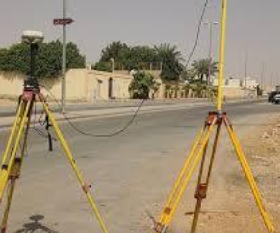
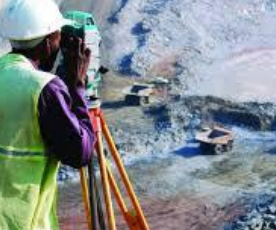
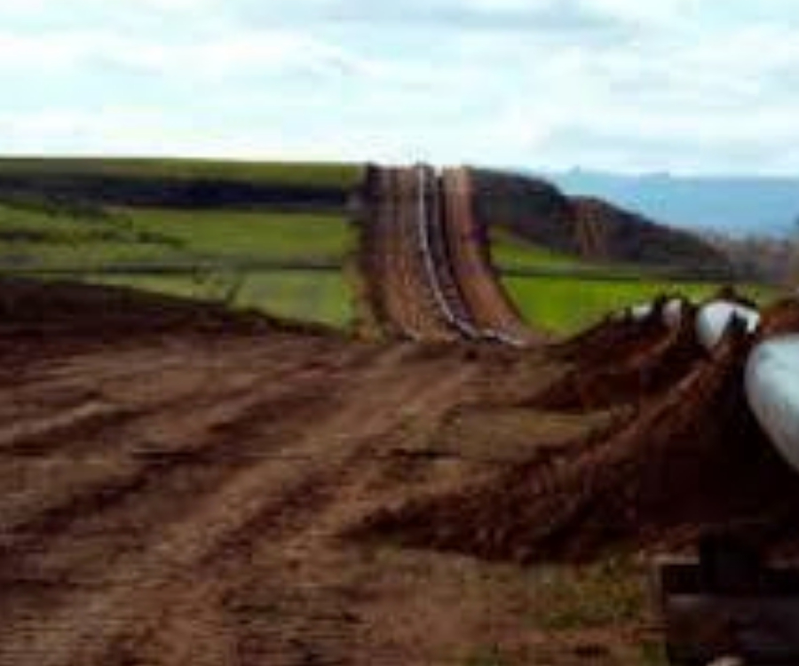
A route survey is a specialized type of survey that focuses on mapping and analyzing a specific path or route for infrastructure projects, transportation, or utilities. It involves collecting detailed information about the terrain, existing features, and conditions along the planned route. Here’s an overview of what a route survey entails:### Key Aspects of a Route Survey1. **Purpose**: The primary goal is to assess and document the characteristics of a proposed route for roads, railways, pipelines, power lines, or other linear infrastructure. This helps in planning and optimizing the route to avoid obstacles and ensure feasibility.2. **Data Collection**:- **Topography**: Measures the elevation, contours, and slope of the land along the route.- **Geology**: Assesses soil and rock conditions, which can affect construction and stability.- **Existing Infrastructure**: Identifies and maps existing utilities, structures, and land use along the route.- **Environmental Factors**: Evaluates the impact on natural resources, wildlife, and ecosystems.3. **Survey Techniques**:- **Traditional Instruments**: Uses tools like theodolites, total stations, and leveling instruments for precise measurements.- **GPS**: Provides accurate positioning and alignment data.- **LiDAR**: Captures detailed 3D data of the terrain, which can be used to create accurate digital models.- **Drones**: Aerial surveys provide high-resolution imagery and mapping for large or difficult-to-access areas.4. **Survey Deliverables**:- **Route Maps**: Detailed maps showing the proposed path, including elevations, slopes, and key features.- **Profile Drawings**: Cross-sectional views of the route, illustrating changes in elevation and terrain.- **Reports**: Documentation of survey findings, including potential issues, recommendations, and impact assessments.### Applications of Route Surveys1. **Transportation Projects**: Used for planning and designing roads, highways, railways, and other transportation infrastructure.2. **Utility Infrastructure**: Helps in laying out pipelines, power lines, and telecommunications networks.3. **Land Development**: Assists in planning the best routes for access roads or service lines in new developments.4. **Environmental Assessments**: Evaluates the potential environmental impacts of the proposed route and suggests mitigation measures.### Benefits of Route Surveys- **Optimal Route Selection**: Identifies the most efficient and feasible path, reducing costs and environmental impact.- **Problem Identification**: Helps to identify potential obstacles and challenges along the route, such as steep slopes, unstable ground, or existing structures.- **Regulatory Compliance**: Ensures that the route meets legal and environmental requirements.- **Design Accuracy**: Provides precise data for engineering and construction design.In summary, route surveys are essential for planning and executing infrastructure projects, providing crucial information for designing effective, safe, and environmentally responsible routes.

Project Overview

Geophysical and geotechnical surveys are critical methods used to investigate and analyze subsurface conditions for various projects, including construction, mining, and environmental assessments. While both types of surveys are used to understand subsurface conditions, they focus on different aspects and use different techniques.### Geophysical Surveys**Purpose**: Geophysical surveys aim to investigate subsurface properties and structures by measuring physical properties that vary with depth and location. These surveys are primarily used to map geological features, detect anomalies, and assess conditions without direct excavation.**Key Techniques**:1. **Seismic Survey**: Uses seismic waves generated by small explosions or mechanical sources. The reflection and refraction of these waves help determine the subsurface structure and identify layers of different materials.- **Reflection Seismology**: Measures the time it takes for seismic waves to return to the surface after bouncing off different layers.- **Refraction Seismology**: Measures the bending of seismic waves as they pass through different materials.2. **Electrical Resistivity Survey**: Measures the resistance of the ground to electrical currents. Different materials (e.g., rocks, soil, water) have different resistivities, which helps in mapping subsurface structures and identifying contaminants.3. **Magnetic Survey**: Measures variations in the Earth's magnetic field caused by subsurface magnetic materials. Useful for identifying mineral deposits, buried structures, and geological formations.4. **Ground-Penetrating Radar (GPR)**: Uses radar pulses to image the subsurface. It is effective for detecting and mapping buried objects, voids, and changes in material properties.5. **Gravimetric Survey**: Measures variations in the Earth's gravitational field caused by differences in subsurface density. It helps in identifying density anomalies and structures like cavities or ore bodies.**Applications**:- **Mineral Exploration**: Identifying mineral deposits and assessing their extent.- **Environmental Studies**: Locating contaminants and assessing groundwater conditions.- **Construction**: Evaluating subsurface conditions before construction to avoid surprises and plan appropriately.### Geotechnical Surveys**Purpose**: Geotechnical surveys focus on analyzing soil and rock properties to evaluate their suitability for supporting structures. These surveys provide detailed information on soil mechanics, strength, and stability, which is crucial for safe and effective construction.**Key Techniques**:1. **Soil Sampling**: Collecting soil samples from various depths to analyze their composition, strength, and moisture content. Techniques include:- **Boring**: Drilling holes into the ground to collect samples from different layers.- **Test Pits**: Excavating trenches to examine soil layers and collect samples.2. **Laboratory Testing**: Analyzing soil and rock samples in a lab to determine their physical and mechanical properties, such as:- **Shear Strength**: Measures how the soil will resist sliding or shearing forces.- **Compaction**: Determines the optimal moisture content and density for soil compaction.- **Permeability**: Measures the rate at which water flows through soil.3. **In-Situ Testing**: Conducting tests directly on-site to assess soil properties and behavior under real conditions, such as:- **Standard Penetration Test (SPT)**: Measures soil resistance to penetration.- **Cone Penetration Test (CPT)**: Measures resistance as a cone is pushed into the soil.**Applications**:- **Foundation Design**: Ensuring that the soil or rock can support the loads imposed by structures.- **Slope Stability**: Assessing the stability of natural and engineered slopes to prevent landslides.- **Earthworks**: Planning and executing excavation, embankment, and other earth-moving activities.### Summary- **Geophysical Surveys**: Focus on mapping and analyzing subsurface conditions based on physical properties without direct sampling. Useful for locating structures, assessing geological features, and environmental monitoring.- **Geotechnical Surveys**: Focus on analyzing soil and rock properties through sampling and testing to assess their suitability for construction and engineering purposes.