
Our Services

Drone Mapping
We are highly experienced in drone, lidar & topographical mapping for property valuation, mining, road network planning and implementation, as-built surveys, geological, geophysical & geotechnical surveys, coastal management etc.
Read More
Engineering Survey
We are highly experience in construction industry. We conduct topographic surveying to help in designing engineering structures such as road networks, tunnels, mining pits etc. We also provide setting-out services of all sorts of engineering structures such as buildings, roads, bridges, industrial installations, etc
Read More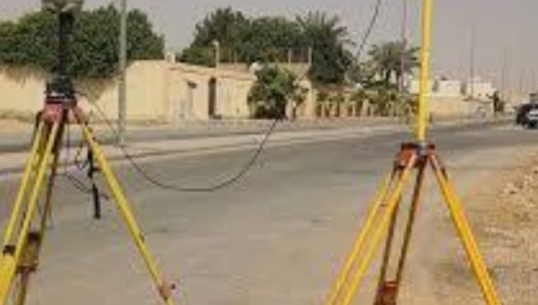
Cadastral Survey
We deal with mapping lands for titling and registration, real estate surveys, identifying legality of land before buying and leasing, etc. The company also deals with land boundary recovery, surveying of large farms, village land surveys for provision of CRO, division of large farms into plots, surrendering of title deeds and survey plans, re-survey of registered large farms in urban and rural areas.
Read More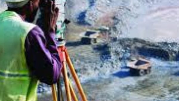
Mining Survey
Surveys in mining are typically carried out using a combination of traditional tools (like theodolites and total stations) and advanced technologies (like GPS, LiDAR, and drones) to ensure accuracy and efficiency.
Read More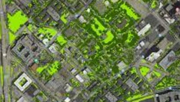
GIS mapping
There are many construction project has the design has been completed available by the Professional
Read More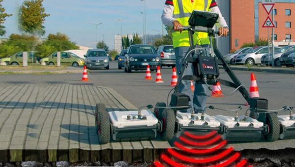
Utilities, Construction Survey
Utilities and construction surveys are essential for the successful planning and execution of construction projects, helping to ensure accuracy, safety, and efficiency.
Read More
Topographical Survey
Overall, a topographical survey is a crucial tool in many fields, providing essential data for planning, design, and analysis.
Read More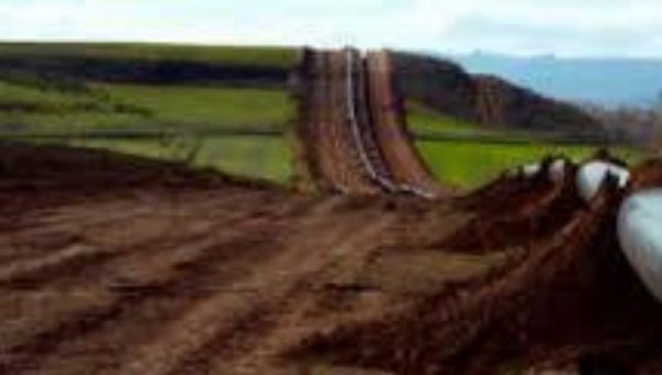
Route Survey
Route surveys are essential for planning and executing infrastructure projects, providing crucial information for designing effective, safe, and environmentally responsible routes.
Read More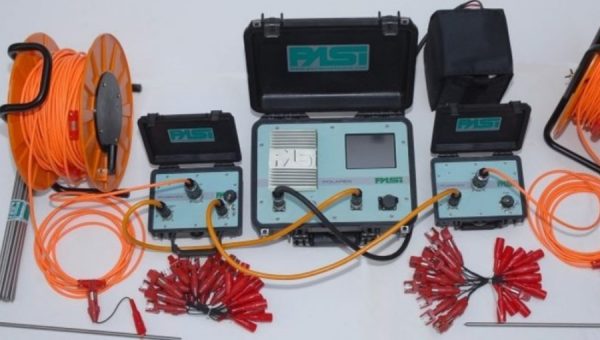
Geophysical & Geotechnical Surveys
Both types of surveys provide complementary information essential for making informed decisions in various projects, ensuring safety, efficiency, and effectiveness.
Read More